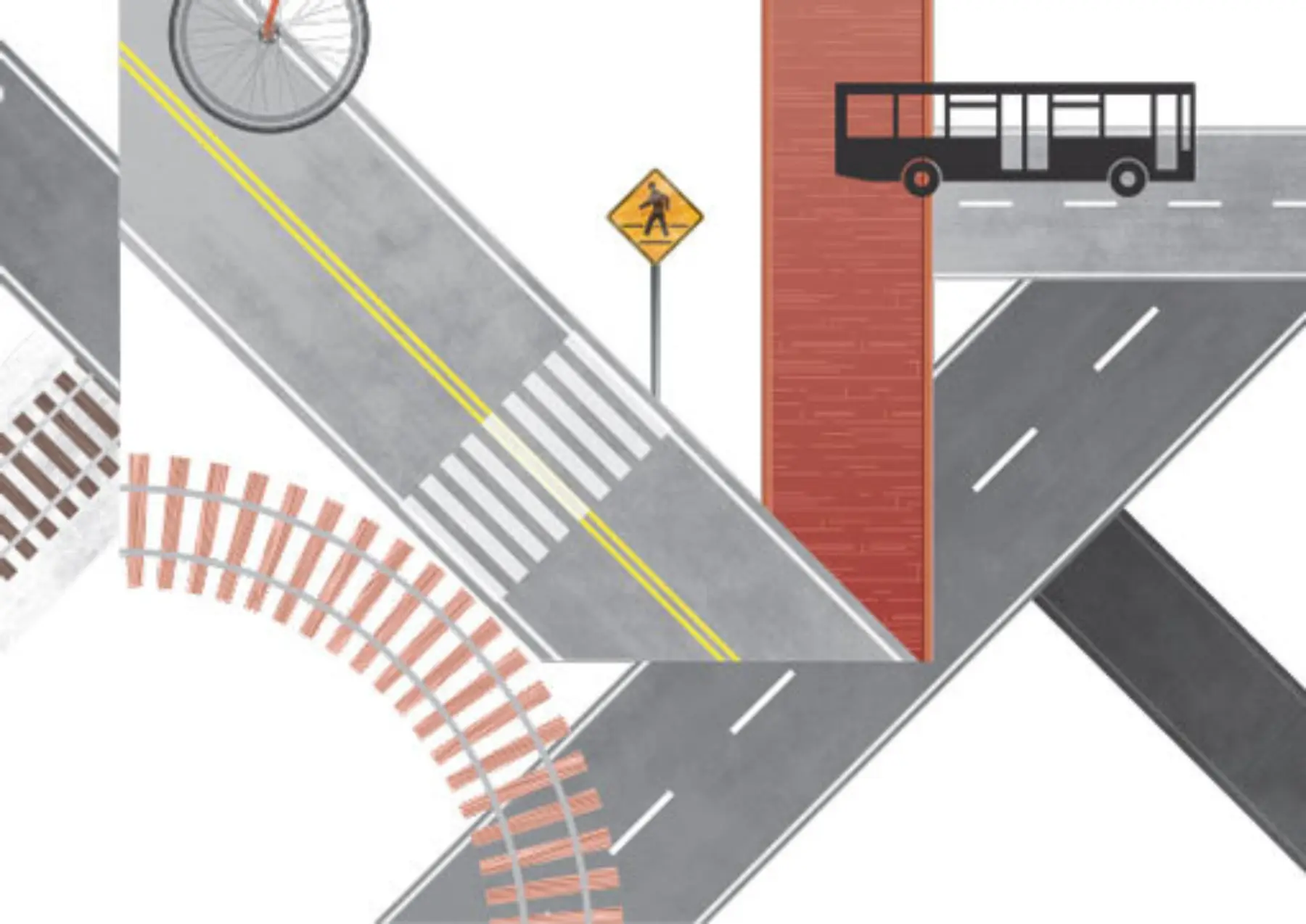
Boston’s population is at a 50-year high (with an 8 percent increase by 2030), but levels of car ownership and vehicle miles traveled are declining. What is going on? People today have different values as to what city life should look like, and auto-mobile ownership isn’t a big part of it. The pressure to rethink how we design our streets culminated in the concept of “complete streets,” which provides for safe, comfortable access by all modes of transportation with an emphasis on biking, walking, and transit. But a lack of coordination among adjacent municipalities hampers efforts to realize a truly rebalanced urban transportation system. Boston, Cambridge, Somerville, and Brookline, for example, each has its own bicycle network plan — and none acknowledges the existence of its neighbors.
Other cities may be considered parochial, but urban “Boston” really excels, with each municipality advancing its own planning agenda. Until a decade ago, Cambridge was the only city in the area with bike lanes, pedestrian-focused signal-timing policies, and innovative traffic-calming measures (and was generally scoffed at by neighbors). Drivers take for granted that a road is still a road as we pass seamlessly from one town to the next. But one day in the early 2000s, as I rode my bicycle from Central Square, Cambridge, toward Boston, the bicycle lane suddenly disappeared when I reached the bridge over the Charles River. The bridge is owned by the state, and the other side belongs to the City of Boston. But from a bicyclist’s perspective, it’s all one street.
It took some time, but now all municipalities in the area are in on the Complete Streets action. Somerville is building a protected bike lane on Beacon Street, Boston is running a Vision Zero corridor planning process for Massachusetts Avenue, Brookline is about to reconstruct the abominable pedestrian crossing across Route 9 by the Jamaica Way, and Newton engaged in some tactical urbanism by temporarily redesigning a street for a day. But only so much progress can be made with each jurisdiction taking advantage of low-hanging fruit, such as adding bike lanes where they are easy to fit in.
Planners now recognize that every street cannot be made ideal for every mode. So the real challenge we face is creating networks, especially low-stress bicycle networks and bus-priority networks. As we usher in the next generation of street designs, the public debate on how to allocate limited street space will grow only more contentious as we weigh the trade-offs. Without municipal coordination, we will end up with a patchwork of individual projects.
Municipalities have shown they can coordinate. (Witness Metropolitan Area Planning Council’s single-vendor Hubway bikeshare program and planning for the Urban Ring transit project.) Can Massachusetts Department of Transportation serve as convener? (If successful, the Lower Mystic Regional Working Group will be a model.) Coordination can also be initiated by a nonprofit (LivableStreets Alliance’s “Emerald Network” connecting Metro Boston’s greenways).
Somerville mayor Joseph Curtatone is a champion for regional thinking, but the big player is the most essential. There is still time for Mayor Martin J. Walsh to turn around the GoBoston 2030 planning process in order to become a catalyst and leader for regional coordination.